Ritidian 2007

Seven years ago this article was featured in the Stars and Stripes, a feature about Ritidian and its beauty. It was a piece meant to inform the military on island about the special qualities of the place, encouraging them to visit. An interesting contrast between then and now. The ginefpago of the place remains the same, although the strategic interests change. I wonder if the Stars and Stripes ever had an article about Pagat and how special it is encouraging people to go and visit.
********************
Ritidian Point: A gorgeous slice of tropical Guam
special to Stars and Stripes
Published: June 3, 2007
The Ritidian Point section of the Guam National Wildlife Refuge is a 374-acre shelf of land that sits below the limestone cliffs at the edge of the island’s northern plateau. It has several features that make it a must-visit spot for people who want to feel like they visited Guam at its tropical best.
The most awe-inspiring part of the refuge, at least for me, is the mile or so of pristine beach, reachable via a short path from the Nature Center parking lot.
But if you want a nice place to picnic, take the dirt road that runs off to the left behind the Nature Center. When you pass the end of the grassy field, you will come to the beginning of 18 shaded parking stalls along the road that are ideal picnic spots.
You’ll need to bring your own chairs, tables and trash bags. Trees and other vegetation provide privacy from other picnickers and you have access to an almost unbelievably spotless white-sand beach.
When you get to the beach, easily seen coral and fish add to the view. And as the water stretches out to the horizon, it takes on shades of blue and blue-green until it settles into the dark blue of deep ocean just past the reef.
Adding to the beyond-postcard beauty of the beach is the fact that — at least in my experience — there never seem to be more than half a dozen people in sight. I am told, though, that weekend and holiday afternoons bring larger groups of people.
But the beach is just one part of the refuge.
At the back of the Ritidian area is the limestone cliff that rises between 25 and 50 feet. The area is off limits to individuals, but an accompanied one-hour (or so), half-mile walking tour can be arranged in advance.
On a Saturday morning in mid-May, park ranger Matt Brown took six of us along the trail at the base of the cliff. The walk was quite easy and in the morning shade, heat was not a problem.
The group gathered with Brown in the first shaded parking area behind the beach. We crossed the road and before we even reached the cliff, we were given a glimpse of the area’s history.
To our right was a thick patch of coconut trees, remnants of the the time that Ritidian was a thriving copra plantation during the 1920s.
We were walking along the edge of what had been a baseball field, Brown said, when the area was a high-security Navy communications station throughout the Cold War. That use of the land accounts to a large extent for the area’s unspoiled beauty.
It should be mentioned that when the area was turned over by the Department of Defense to the Fish and Wildlife Service for the refuge in 1993, local families who owned the land before World War II were disappointed that it was not returned to them. It is an issue that continues to simmer.
Most interesting however, were the artifacts of the Chamorro village that was located in the area in the pre-Magellan era.
Only a few yards into the forest, before we reached the cliff line, Brown picked up a shard of red pottery and passed it around, telling us that we would likely see more and to leave it in the area.
At the base of the cliff are two small, intact latte stones — the prehistoric pillar-like structures with capstones that are symbolic of Chamorro culture.
The walk also includes two sets of relatively shallow caves, both with pictographs drawn on the wall hundreds, or more, years ago. As we approached the bend in the cliff line that includes the second, and more impressive, set of caves, Brown told us we about to see the most beautiful spot in Guam.
While the nearby beach makes that claim arguable, it does have merit. With the high cliff walls on three sides, the nooks and crannies of the caves and the morning shadows, the spot has a cathedral-like atmosphere.
Much of Guam’s natural history involves introduced species and their effect on the ecosystems. As we walked, Brown pointed out different types of vegetation and explained which species were introduced and which are among the few native to the island. He also pointed out areas that had been damaged by wild pigs and noted the absence of birds caused by the notorious brown tree snake.
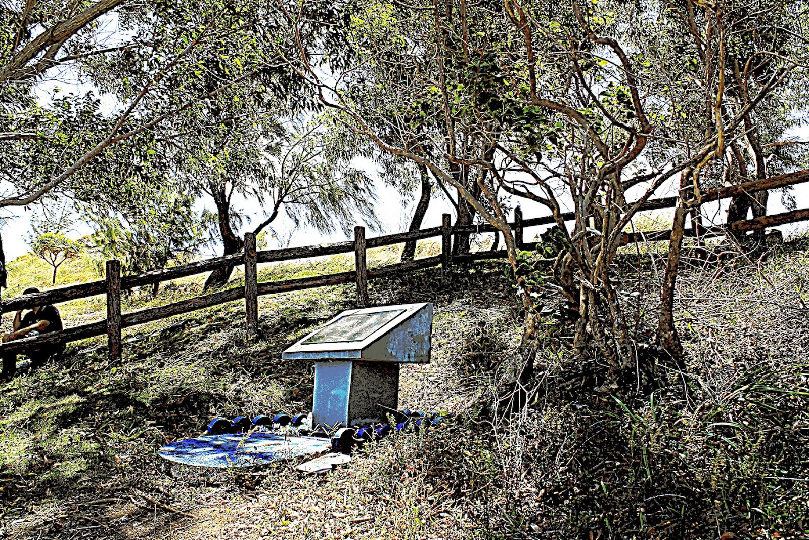
The Wildlife Service opened a Nature Center in April with exhibits that teach visitors about the habitats in the refuge. The exhibits point out the differences between what modern visitors see and what the pre-colonial Chamorros likely experienced.
While it is hard to imagine that there might be a more spectacular spot to watch the sun set, the refuge gates are closed at 4 p.m. in order to permit various animals, including sea turtles, to go about their nocturnal activities undisturbed — a concern surely appreciated after a very undisturbing visit to Ritidian.
getting there: Unless you are coming from Andersen
Air Force Base or another northern location, turn onto Route 3 from
Marine Corps Drive (Route 1) at the first traffic light north of the
Micronesia Mall in Dededo. Continue along Route 3 about five miles, past
the Naval Computer and Telecommunications Station, and then bear left
at the Y-shaped intersection across from the entrance to Starts Guam
Golf Resort. You will be on Route 3A, which you should follow for about
five miles directly into the refuge.
From Andersen Air Force Base: Turn right onto Route 9 as you exit the front gate. Proceed about 2 miles and bear right at the Y-shaped intersection with signs for Route 3A. Once you’re on Route 3A follow the road about 5 miles; it leads directly into the refuge.
swimming: Swimming at Ritidian can be dangerous. The protection provided by the reef is deceptive: Swimmers (and waders and reef walkers) have been caught in powerful currents and swept out through cuts in the reef. Be safe — stay close to shore, avoid currents and avoid rough water. Signs will inform you that swimming is prohibited in the most dangerous area.
preserving the habitat: Since it is a wildlife refuge, preserving (and restoring) the habitat is the top priority. The only buildings in the refuge are left from the area’s days as a Navy communications station. While the beachside vegetation provides nice shade, there are no pavilions, benches, tables, etc. There are also no trash receptacles, since they attract flies, rodents and otherwise affect the ecosystem — so be prepared to pack out your trash.
coming & going: The gates to the refuge open at 8:30 a.m. and close at 5 p.m., so plan accordingly. No overnight camping is permitted. To arrange a walking tour of the cliff side area or for more information, call 355-5096/7. As you’re driving to Ritidian Point along Route 3A, you will probably notice a small monument by the side of the road about halfway to the wildlife refuge.
‘Last Mission’ monument
As you’re driving to Ritidian Point along Route 3A, you will probably notice a small monument by the side of the road about halfway to the wildlife refuge.
The stone column with the bronze plaque commemorates a tiny, but fascinating, slice of World War II history. It was donated by the local business community and dedicated on Aug. 15, 2005, the 60th anniversary of the “Last Mission” it memorializes.
On that day, 143 B-29B Superfortress bombers returned to Northwest Field — the now unused airfield that lies on the opposite side of the road from the monument — after bombing oil fields in Akita, Japan. As they approached Guam, the air crews picked up radio broadcasts of President Harry Truman announcing the Japanese surrender, making theirs the last mission of World War II.
During the monument dedication, Guam Chamber of Commerce member Carl Peterson told of a little-known incident related to the mission:
On Aug. 14, 1945, after the Japanese emperor had signed the peace treaty, he was on his way to a radio studio to record a message to the Japanese people announcing the end of the war. But when the Japanese heard the B-29s approaching on their way to Akita, they feared an attack on Tokyo and took the emperor to a bomb shelter.
Meanwhile, a group of militant Japanese officers were waiting to prevent, by force, the emperor from recording the message, believing that without it they could continue to fight. When the emporer was delayed, the conspirators tired of waiting and went to look elsewhere for him. The emperor arrived shortly after and recorded the message, which was broadcast the following day.
Trivia buffs may also be interested to learn that one of those laying the wreath at the monument during the dedication was Air Force Lt. Col. Paul Tibbets, the grandson and namesake of the Enola Gay pilot. The younger Tibbets is a B-2 pilot who happened to be in Guam as part of an ongoing rotational bomber deployment to Andersen.
The story of the events of Aug. 14 and 15, 1945, are available in the book “The Last Mission: The Secret History of World War II’s Final Battle,” by Jim Smith and Malcolm McConnell.


Comments